Category:Hitchhiking maps
Jump to navigation
Jump to search
This category is for maps created by users which pertain to hitchhiking (rather than generic highway maps).
Media in category "Hitchhiking maps"
The following 21 files are in this category, out of 21 total.
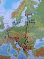 31-countries-10-days.jpg 3,120 × 4,208; 1.04 MB
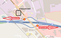
 Amsterdam liftplaats petrol station.png 741 × 394; 126 KB
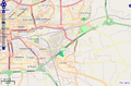
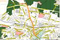
 Berlinout.jpg 1,244 × 557; 86 KB
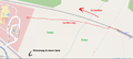
 Graz to Slovenia1.png 1,290 × 639; 519 KB
 Graz to Slovenia2.png 1,218 × 723; 217 KB
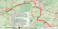 HH to Saarbruecken.png 976 × 489; 1.02 MB
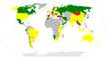 Hitchability world map.jpg 1,992 × 1,113; 137 KB
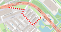
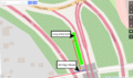
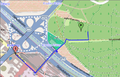
 Hitchhiking spots at junction 50 in Odense.png 733 × 456; 106 KB
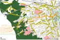
 Hitchrennes.png 796 × 526; 197 KB
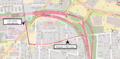
 Hollingbourne.png 1,325 × 598; 140 KB
 Kesselberg1.JPG 3,000 × 4,000; 1.58 MB
 Kunming West Toll Gate.jpeg 2,400 × 3,400; 881 KB
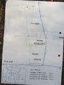
 Map.JPG 1,680 × 3,720; 744 KB
 Taiwan.png 1,414 × 1,234; 1.01 MB
 Ulaanbaatar.jpeg 3,376 × 1,588; 1.21 MB
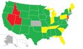
 Unitedstateshitchhiking.jpg 1,021 × 601; 53 KB
 Unitedstateslaws.jpg 1,021 × 601; 50 KB
 Vienna-erdberg-sleeping.png 437 × 280; 61 KB
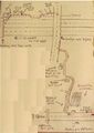
 Zg-germany1.jpg 1,103 × 737; 292 KB
 Zg-germany2.jpg 1,106 × 736; 282 KB
 ZGORA.jpg 843 × 711; 129 KB


